I’ve been riding bikes for a very long time. Since I was a kid, but fairly seriously since I bought my first bike at 15 years old, a Peugeot Crazy Horse mountain bike. I have certainly learned a lot since then, between riding around the world and racing, but one thing I still seem to fail at is planning.
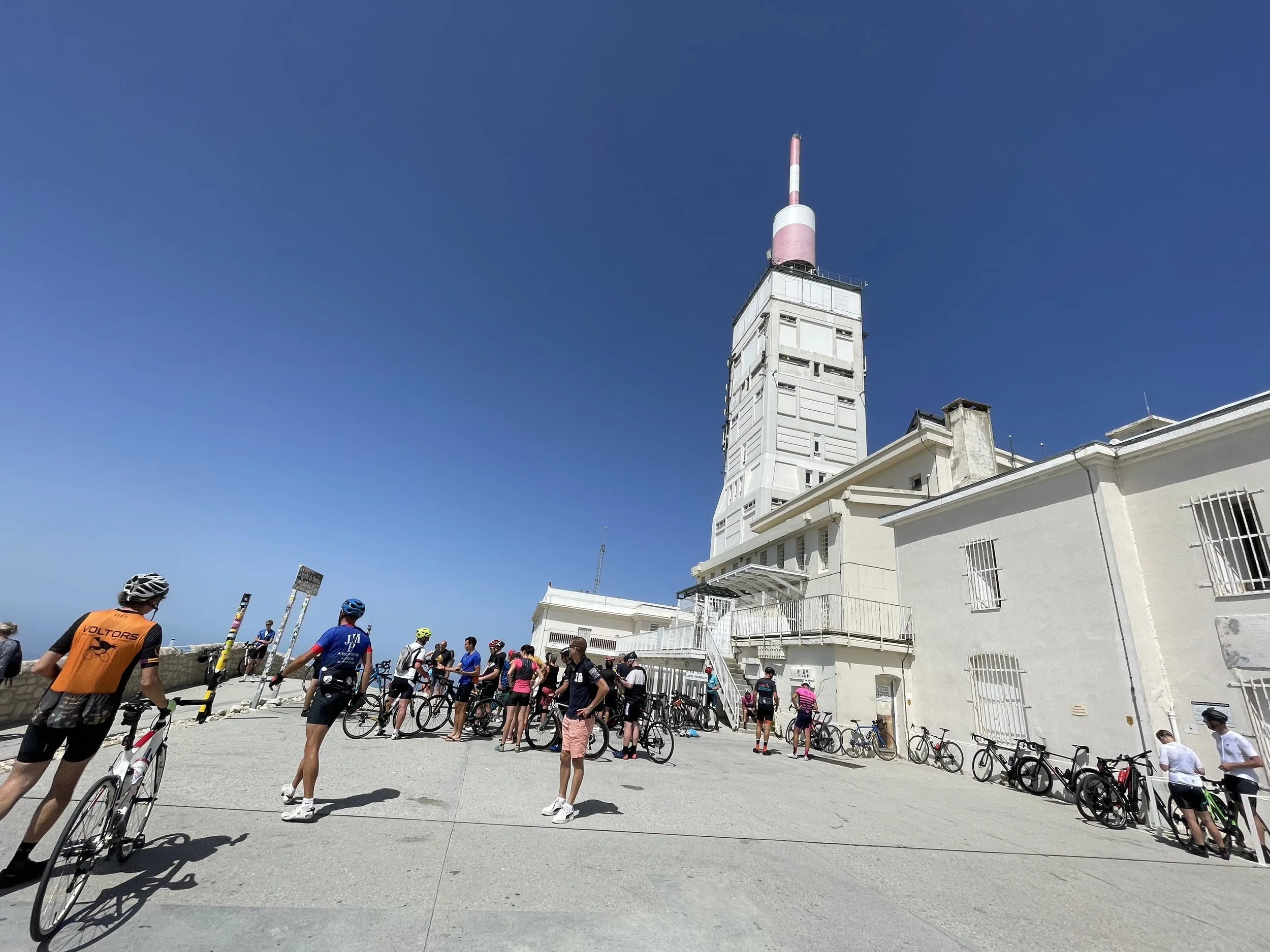
The first time we rode around Provence was a seven-day cycle tour where we went to a new village each night. I worked with a wonderful company so we could plan the perfect route to see all the spots we wanted, including a climb up the Mont Ventoux. The company gave us maps (yes, paper maps) with highlighted routes which ended at whatever hotel we’d be staying at that evening. It was self-guided, so they took our bags and all we had to do was haul ourselves around each day. It was delightful.
But in those days, we didn’t have GPS or cell phones. And on our very first day out, things went wrong, and we didn’t have a contingency plan. We started in Orange and were to head to Vaison-la-Romaine, then to Malaucène to the top of Ventoux, and back to Séguret for the night. An ambitious day out to be sure, and if we had actually followed the route, we likely would have made it. But it was Wednesday. Wednesday is market day in Malaucène, and the main road was closed. Not anticipating this, we just assumed the route we were supposed to be on must be right before the market. One can’t increase the size of a paper map, so there was only so much zooming in we could do, which was none. We saw the word “Ventoux” on a sign and thought, “Well this must be the way”.
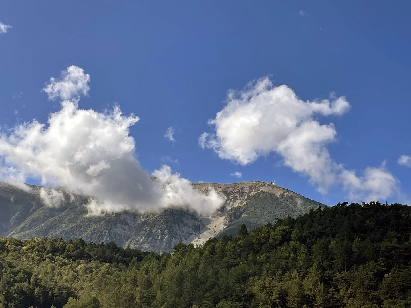
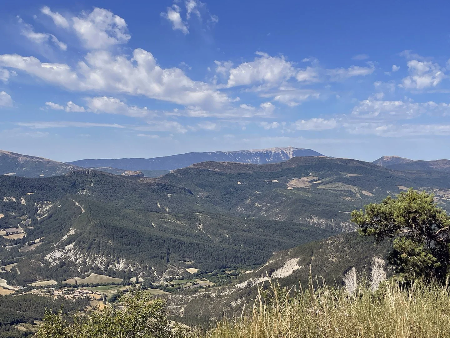
As we climbed and climbed, we were certain we were on the flanks of the mighty mountain, but the further we went, the bigger the valley between us and the mountain was becoming. I kept thinking, “Is there a bridge somewhere?”. The Malaucène side was never on the Tour de France, so our only visual was the Bédoin side. Jay decided to go on ahead with the notion that he’d get to the top and collect me on the way down. But as we climbed and the mountain seemed to be getting further away from us, I knew something was wrong. I flagged down some cyclists and asked them if this was the correct route to which the answer was a resounding NO! They suggested I shouldn’t worry about it and meet Jay at the hotel. Jay had no idea where the hotel was, or what it was called as I had the map. So, I pushed on, hoping he’d turn around. Luckily, he did, we sorted ourselves out and got to the hotel eventually.
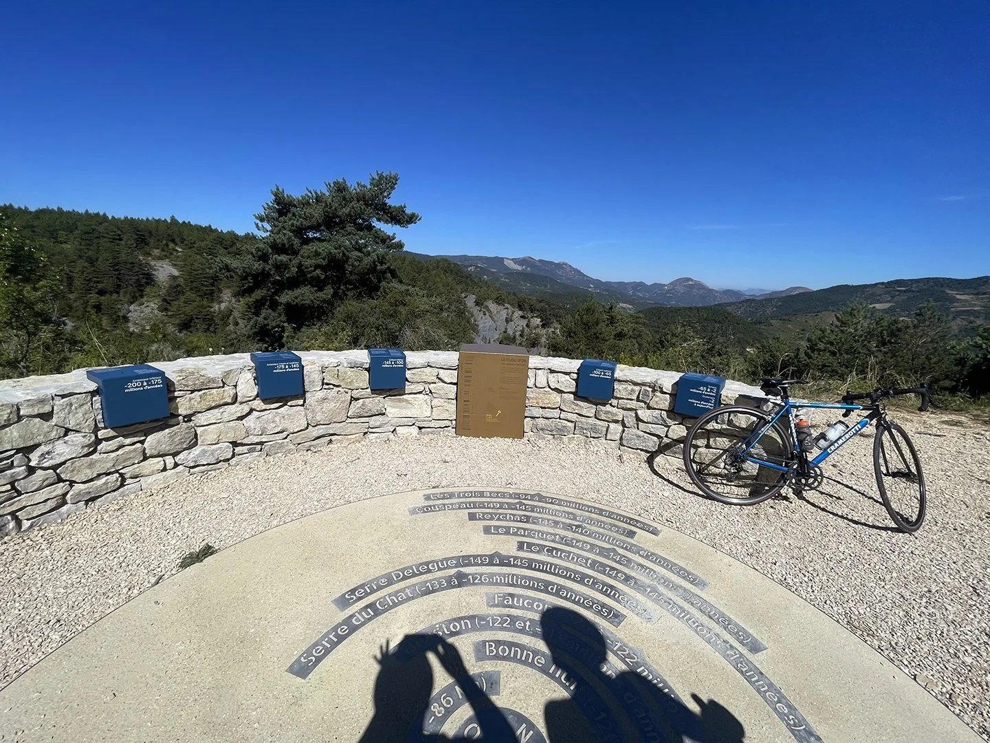
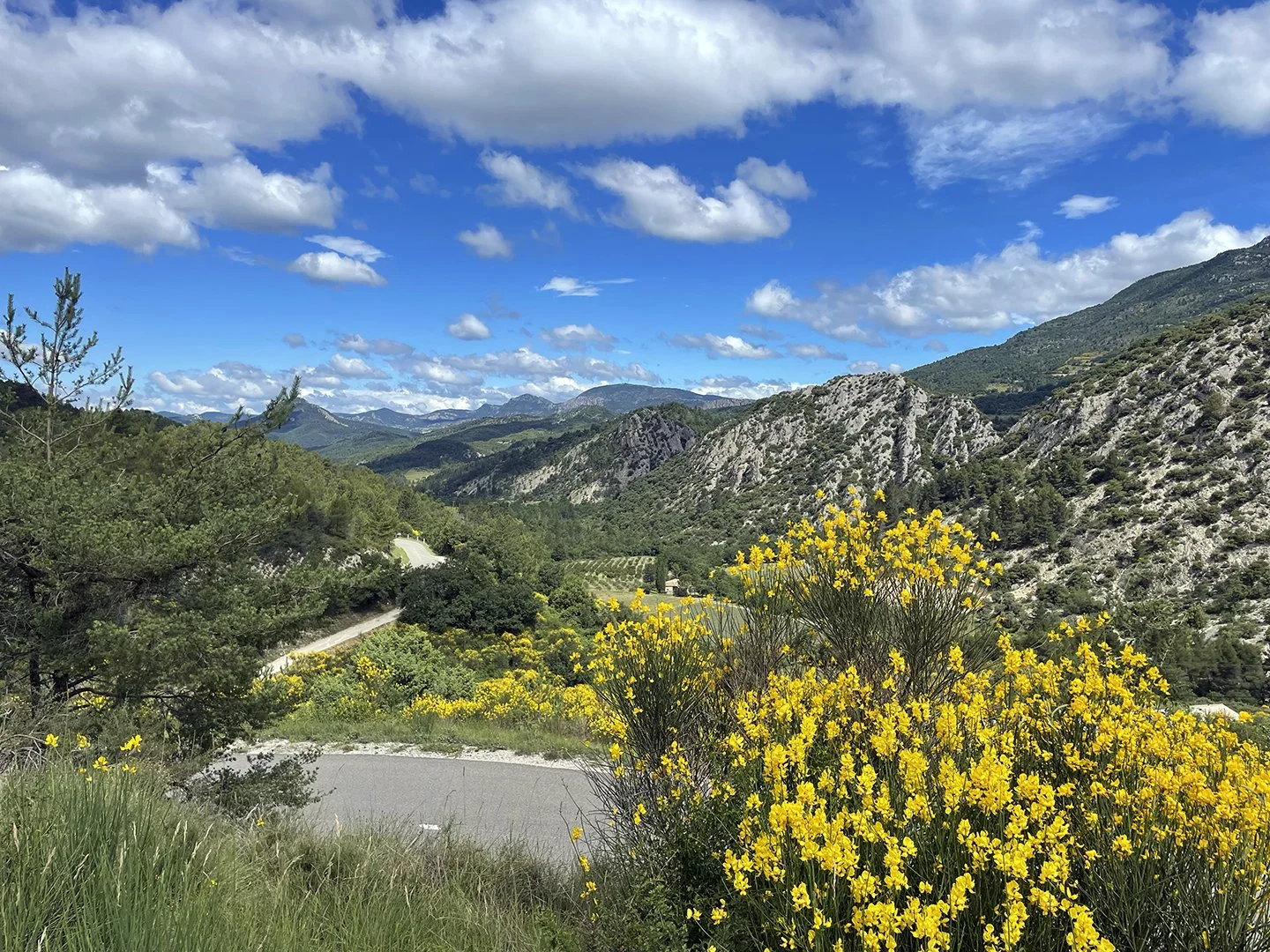
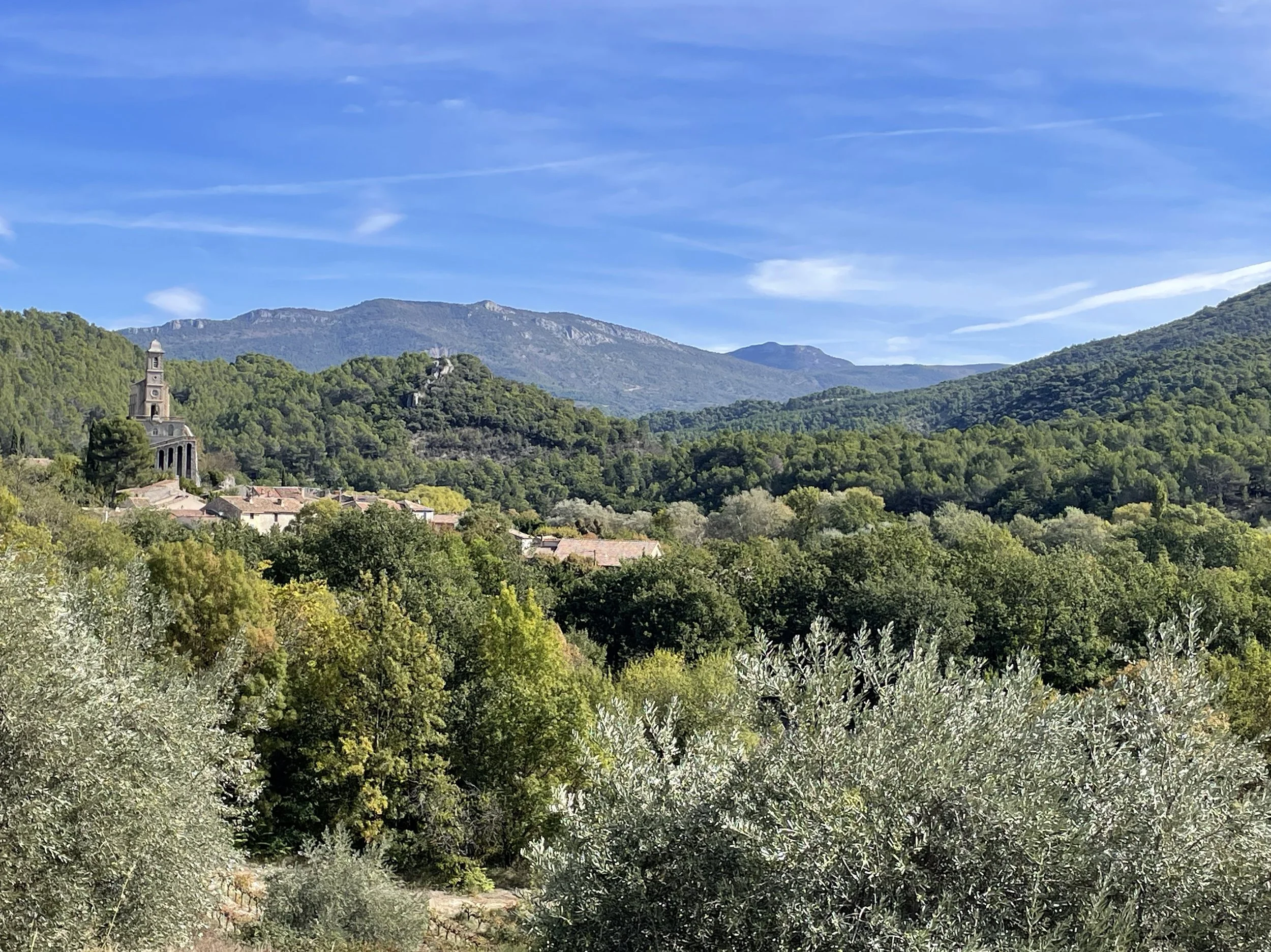
After an experience like that, you’d think we’d be better prepared moving forward. Maybe consider backup plans for getting lost, where to meet, or anything else. Even with cell phones, often there is no reception in the mountains, so they are rather useless. Sadly, we still haven’t learned our lesson. Just this week we went on a stunning ride in a remote part of the Drôme. Neither of us had done the route before. I didn’t even plot a course on Garmin. But it seemed straight forward and there are always good road signs in France. All was going brilliantly until we had only 12km of delightful downhill to return to the car. We came upon the main road, we were supposed to turn right, but the road was completely closed with a fence across the entire thing which we learned was because of a recent rockslide. To go left meant adding roughly 25 km and another 8km col to climb after already doing 1200 metres of climbing. Without a plan, the only thing we could do was to put our heads down and keep turning over the pedals in +35-degree sunshine until we could get back. Should we have checked for road closures? Probably. Should we have had a contingency plan for running out of water and food? Definitely.
It all worked out in the end, and it was a stunning ride, but we seriously should get our poop in a group moving forward. As they said in Burn After Reading, “What did we learn Palmer? I don’t fucking know. I guess we learned not to do it again.”
